
New UN-Backed World Map Changes How Continents Look, Makes Africa Appear Larger

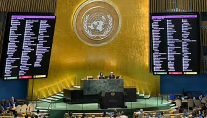
The United Nations General Assembly (UNGA) has backed an African Union-led initiative seeking to change how the world is represented on maps, arguing that commonly used projections distort the relative size of continents. The United States opposed the resolution.
The resolution, titled “Correct the Map” and sponsored by Togo, was approved with 164 countries voting in favour. Six countries abstained, while the US voted against the measure.
Why the Map Is Being Challenged
The campaign focuses on the widely used Mercator projection, created by Flemish cartographer Gerardus Mercator in 1569. Although the projection was developed primarily for navigation, it makes areas closer to the poles appear disproportionately large.
As a result, Europe and North America can appear much larger than their actual land areas when compared with Africa, while Africa appears relatively smaller. The African Union is advocating the use of equal-area projections, including the Equal Earth map, which is designed to preserve the relative size of land masses more accurately.
The bloc has called for such maps to be used in classrooms, media and international institutions to provide a more representative picture of the world’s geography.
US Criticises UN Move
Washington criticised the resolution, questioning whether changing map projections should be a priority for the UN.
US representative Yaryna Ferencevych argued that the organisation should focus on more pressing global challenges rather than debates over historical cartographic models and their role in issues such as reparations and “cognitive justice”, AFP reported.
African Union Hails Resolution
The African Union’s Permanent Observer Mission to the UN welcomed the vote and congratulated Togo and the African Group on the adoption of the measure. In a post on X, the mission described the resolution as an important step towards ensuring that global maps better represent Africa’s actual geographical scale.
AU Commission Chairperson Mahmoud Ali Youssouf also described the decision as a “significant step forward”.
Togo: Maps Influence How We See the World
Togo, which sponsored the resolution, said maps are not merely geographical tools but also influence education and public perceptions.
Foreign Minister Robert Dussey said maps “guide education” and shape collective understanding. He argued that repeatedly presenting distorted representations of the planet could allow inaccurate perceptions to persist across generations.
The initiative now seeks wider adoption of equal-area maps to ensure that the relative size of Africa and other regions is represented more accurately.
Comments are closed.