
Heavy Monsoon Rains Likely In These Indian Regions, Weather Forecast Shows

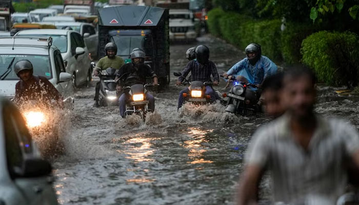
Monsoon Set To Intensify Over Central India, Heavy Rain Likely In These Regions
The monsoon is expected to become more active over central India in the coming days, with weather models indicating widespread moderate to heavy rainfall across several states through mid-August.
Forecasts from the European Centre for Medium-Range Weather Forecasts (ECMWF) show a significant build-up of rainfall between August 8 and 15 across Madhya Pradesh, Chhattisgarh, parts of Maharashtra and adjoining areas.
Several pockets could receive more than 100-200 mm of rain during this period, while isolated locations in the Northeast may record even higher totals.
The expected spell comes against the backdrop of a broader seasonal forecast from the India Meteorological Department (IMD), which has indicated that India’s overall monsoon rainfall could remain below normal at around 90% of the long-period average.
CENTRAL INDIA IN FOCUS
ECMWF’s latest ensemble and deterministic forecasts indicate a stronger monsoon flow developing over the central parts of the country.
The monsoon trough and associated low-pressure systems are expected to draw additional moisture into central India, increasing the likelihood of widespread rain.
Madhya Pradesh and Chhattisgarh are among the areas likely to see the most persistent rainfall, while parts of Maharashtra and neighbouring regions could also experience heavy showers.
Northern and northeastern parts of India may receive more scattered rainfall, although some locations could still see significant downpours.
Related Posts
Recent IMD updates have already reported heavy to very heavy rain at isolated places across East Rajasthan, Odisha, Madhya Pradesh, Chhattisgarh and nearby areas.
BELOW-NORMAL MONSOON DOES NOT MEAN DRY WEATHER
Even if the overall monsoon season ends below normal, individual weather systems can still produce intense rainfall over relatively short periods.
Heavy rain concentrated over a few days can increase the risk of waterlogging, flooding and disruption, particularly in low-lying and vulnerable areas.
A warmer atmosphere can also hold more moisture, which may contribute to stronger rainfall events when favourable weather systems develop.
As a result, seasonal rainfall totals do not always reflect how intense individual spells can be.
FORECASTS MAY CHANGE
The coming week could bring a notable increase in monsoon activity over the heart of India. However, medium-range weather models can shift as fresh observations and atmospheric data are incorporated.
The IMD’s daily warnings and extended-range forecasts will therefore remain important for tracking the evolving situation.
For now, the strongest signal is for a wetter phase across central India, with Madhya Pradesh, Chhattisgarh, parts of Maharashtra and adjoining regions likely to remain under the influence of active monsoon conditions.
Comments are closed.