
Rising Heat, Falling Groundwater Put Cities at Double Risk of Sinking and Submersion

Cities around the world are extracting groundwater on an unprecedented scale to meet growing demand for drinking water.
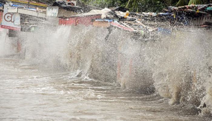
The rapid depletion of underground water reserves is lowering groundwater levels and increasing the risk of land subsidence. At the same time, climate change is driving sea levels higher, creating a growing double threat for many coastal cities.
However, researchers say there may be a natural mechanism that could help replenish depleted groundwater reserves. Jesse Kears of Victoria University and other researchers have pointed to the role of geological fault lines, which are fractures in the Earth’s crust commonly associated with seismic activity.
Several major cities, including Jakarta in Indonesia and Tianjin in China, are already facing the combined effects of groundwater extraction and rising sea levels. Coastal areas of Jakarta are reportedly sinking by around 10 centimetres every year. In Tianjin, a city of roughly 15 million people, projections suggest that around 15 percent of the population could be displaced by 2120 if the problem is not adequately addressed.
Groundwater depletion is not limited to Asia. From San Diego in the United States to major cities in Iran, underground water is being pumped out faster than natural processes can replenish it.
Scientists compare underground water storage to a balloon. When water is continuously removed, the underground system effectively loses support, increasing the possibility of land sinking.
This becomes an even greater concern for coastal cities as sea levels continue to rise. Historical data shows the scale of the problem. Between 1920 and 1960, intensive groundwater extraction caused water tables in several cities to fall by more than 30 metres. During the same period, some areas experienced land subsidence of up to two metres.
A study in Japan has provided important clues about how depleted groundwater reserves can recover. Researchers monitored 44 wells and found that in some locations where groundwater levels had fallen to around 500 metres, the water had returned to earlier levels by 1985.
The researchers used Interferometric Synthetic Aperture Radar (InSAR) to track changes in the Earth’s surface. The satellite-based technology repeatedly captures radar images, which can then be compared with highly precise measurements from Global Navigation Satellite System (GNSS) instruments.
The study found that groundwater recovery did not occur at the same pace everywhere. Areas located along geological fault lines showed faster groundwater recharge than other locations.
Researchers believe fault lines can act as pathways through which water moves into deeper underground layers, potentially helping depleted aquifers recover. However, these geological structures can also have implications for earthquake risk.
The findings suggest that fault lines, while often associated with seismic hazards, may also play an important role in the natural movement and replenishment of groundwater. Understanding these underground pathways could therefore help scientists better assess groundwater resources and the risks facing rapidly growing coastal cities.
Comments are closed.